LaVista Hills Map Boundaries
LaVista Hills Map Boundaires
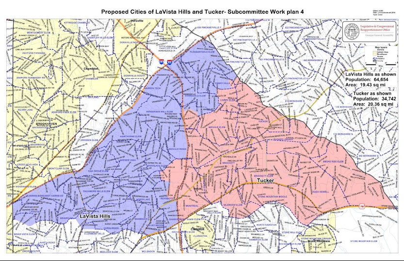
 State lawmakers have disclosed the LaVista Hills map (LVH) boundaries. A sub-committee of the State house chaired by Rep Buzz Brockaway revealed a map that sets the boundaries between the proposed City of LVH and the proposed City of Tucker.
The panel’s charge was to set the boundary between LaVista Hills and Tucker to clear the way for a Citizenship vote in the 2015 State Legislature. A two year requirement for the vote was waived to allow a 2015 vote in the legislature.
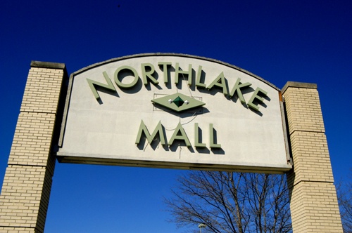
The business area at Northlake Mall was split between LVH and Tucker in what is shaping up to be another unfortunate decision regarding the Northlake business district. The area has long sought an identity and the split boundary of the Northlake business district once again makes identification of the commercial district as a brand less than ideal.
Other contested areas were split largely along school district lines with the Evansdale and Pleasantdale Elementary districts being included in the LaVista Hills map and the Midvale School district being largely included in the Tucker map.
A referendum to form a City of LVH failed in November 2015.